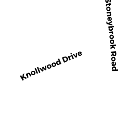
31 KNOLLWOOD DR
Owner Information
NAVARRO ROBERTO (7/20)
31 KNOLLWOOD DRIVE
CHARLTON, MA 01507


Property Details
31 KNOLLWOOD DR is classified as a Single Family Residential (Colonial).
The primary structure on this property was built in 1989. There are 2,812ft2 of built area within this property. There is 2,812ft2 of residential/living space within this property. This property is listed as having 7 rooms.
31 KNOLLWOOD DR is valued at $492,400. The land is valued at $86,000 and the structures are valued at $406,400.
The most recent deed for 31 KNOLLWOOD DR is recorded at the local registrar in Book 62835, Page 129. 31 KNOLLWOOD DR was last sold on Monday, July 20, 2020 for $510,000.
Assessment data from fiscal year 2022.
Flood Data
According to the FEMA National Flood Hazard Layer, this property does not appear to be in a flood zone. It may also be in an area not yet reviewed. Nonetheless, confirm this information prior to taking any action.
To view the flood hazards around this property, create a FEMA "Firmette" Map of the area around 31 KNOLLWOOD DR.
Broadband Internet Providers
| Provider | Type | Bandwidth (mbps) | |
|---|---|---|---|
| HughesNet | Satellite | 25 | 3 |
| Viasat Inc | Satellite | 100 | 3 |
| VSAT Systems, LLC. | Satellite | 2 | 1 |
| GCI Communication Corp. | Satellite | 0 | 0 |
| T-Mobile | Fixed Wireless | 25 | 3 |
| Verizon New England Inc. | DSL | 10 | 1 |
| Charter Communications Inc | Cable | 940 | 35 |
Broadband service provider data from December 2020.
Adjacent Properties
- 33 KNOLLWOOD DR
Single Family Residential owned by BIGELOW JEANNE M (6/21) - 0 STONEYBROOK RD
Vacant, Selectmen or City Council (Municipal) owned by TOWN OF CHARLTON - ROADS - 29 KNOLLWOOD DR
Single Family Residential owned by MANDEVILLE PAUL - 62 OLD SPENCER RD
Single Family Residential owned by GAUTHIER ARTHUR (4/05)